Explore city and neighborhood guides with distinct permit paths, public records and waterfront conditions. Find additional communities within the relevant city guide.
Explore the Space Coast
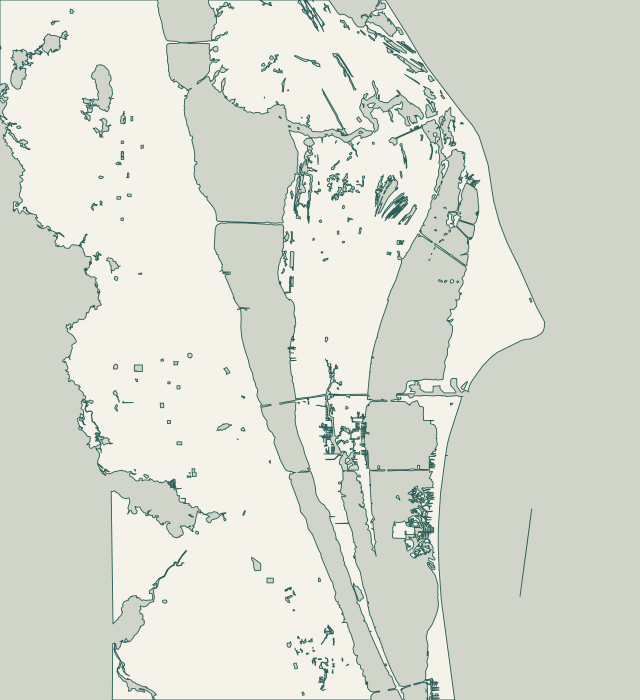
Explore the coast. Find your starting point.
Find your waterfront guide, from Titusville and Port St. John to Cocoa, Merritt Island and the Banana River beachside communities.
Full local guide
Choose a label to open local resources →Tap a community on the map or below ↗
Merritt Island includes several waterfront settings. Banana River Aquatic Preserve takes in Newfound Harbor and Sykes Creek. Along South Tropical Trail, county records even describe parcels reaching from Indian River to Banana River. Treat each waterfront edge separately: vegetation, structures, drainage and neighboring walls may differ.
DEP's Banana River Aquatic Preserve plan includes Sykes Creek as far north as Hall Road. Kiwanis Island connects to the creek and routes toward Barge Canal and Banana River. Ulumay Sanctuary lies off Sykes Creek Parkway. These landmarks locate the setting, not private boundaries or work permissions.
North Merritt Island's special district runs north of Barge Canal and south of NASA Causeway East. Its elected advisory board handles district planning and zoning requests in place of the county Planning and Zoning Board. It does not replace the marine-permitting offices. Brevard also identifies North Merritt Island as an area of special stormwater concern.
For Cocoa Village and Indian River Drive properties, the first useful document is a survey paired with the city boundary map. Cocoa says addresses outside its mapped districts may be in unincorporated Brevard or a neighboring city. Confirm that boundary before opening a permit application. Inside the city, Citizenserve includes a Docks/Seawall category; it also handles documents, fees and inspection requests.
The National Park Service describes Rockledge Drive as a narrow two-lane road along the Indian River, with mature trees and established landscaping. Its historic residential areas also include Barton Avenue and Valencia Road. A contractor should inspect the actual route from street to shoreline, then explain where equipment, removed material and temporary protections will go.
The county’s Port St. John Boat Ramp sits on the Indian River near Fay Boulevard and US 1. It is a useful reference for the local waterfront, but it is not a contractor staging site by default. For local review, start with Brevard Planning and Development. The Port St. John dependent special-district board advises on planning requests; it is not a separate municipal building department.
Titusville’s shoreline ordinance addresses seawalls and bulkheads, runoff near the water, alternative stabilization, septic setbacks and impervious coverage. Those topics make shoreline work more than a material choice. Ask Planning to review the existing condition and proposed alignment before treating a replacement wall, rock revetment or planted shoreline as approved.
For lagoon-side properties, investigate the wall together with the yard drainage, dock and neighboring shoreline. Cocoa Beach's own projects show why: McNabb Parkway combines seawall work with a bioswale, while the Convair Cove design pairs runoff treatment with a living shoreline. Oceanfront work needs a separate conversation about beaches, dunes and the Coastal Construction Control Line. These are distinct conditions within one city, not interchangeable seawall designs.
A Cape Canaveral mailing address does not identify every approval authority. The city has its own Building Division and BS&A portal; Canaveral Port Authority operates a separate Building Department. On the western waterfront, local public-facility records also show that lagoon waves can cause serious shoreline damage. Start with the parcel boundary, the water-facing exposure and the route equipment would use to reach the wall.