Sykes Creek seawall repair and canal access
Keep three questions separate: what is happening to the wall, what is happening behind it, and how the work can reach the property.
Describe your project on this page ↓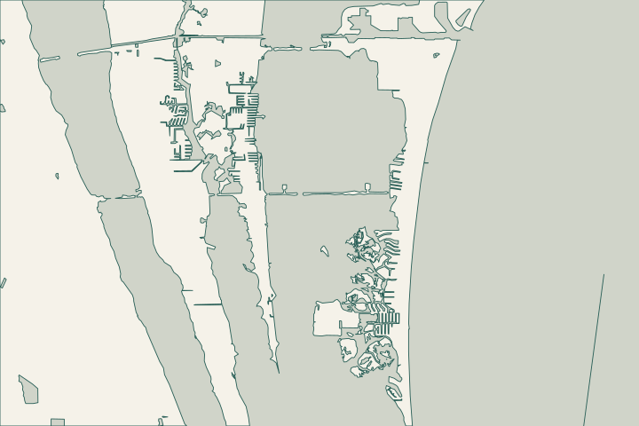
Get to know your waterfront
DEP's Banana River Aquatic Preserve plan includes Sykes Creek as far north as Hall Road. Kiwanis Island connects to the creek and routes toward Barge Canal and Banana River. Ulumay Sanctuary lies off Sykes Creek Parkway. These landmarks locate the setting, not private boundaries or work permissions.
Indian River Lagoon Aquatic Preserves System Management Plan · Brevard Kiwanis Island Park · Brevard Ulumay Sanctuary
Separate wall condition from canal condition
A shallow-feeling canal, a settling lawn and a cracked cap are different observations. Record each separately. Ask whether the proposal addresses wall structure, retained soil, drainage or navigation depth; a quote using only the word repair leaves too much unresolved.
What local dredging records establish
A county funding record for Sykes Creek Phase 2B describes muck removal from approximately 12 acres of residential finger canals. That identifies a local sediment-management issue. It does not show your canal was dredged, that work is complete, or that a private wall defect was corrected. Brevard File 6335: Sykes Creek Muck Removal Phase 2B grant
Before combining shoreline work with dredging, identify the precise project limits and request current records. Ask the designer to explain any dependence on proposed depths or nearby works. A public muck-removal budget cannot price a private seawall repair.
Plan the trip to the property
The federal Sykes Creek Manatee Refuge requires year-round slow speed, including the marked channel. Its boundary is defined in 50 CFR 17.108(c)(2). Barge Canal has a separate slow-speed refuge extending through the marked Banana River route to Canaveral Locks. Have bidders identify their equipment route. 50 CFR 17.108 manatee protection areas 50 CFR 17.108 manatee protection areas
- Show canal width, bends, neighboring docks and lift projections.
- Ask where equipment can turn, tie up and remain during construction.
- Identify approved staging and disposal arrangements before pricing mobilization.
- Distinguish public recreational launches from commercial work permissions.
Locate habitat before drawing the access strip
Ulumay's county page links a 2025 trail map for understanding the conservation landscape. The aquatic-preserve map shows the broader waterway setting. Neither replaces a site assessment of vegetation and submerged resources. Ask what the designer will survey and protect. Brevard Ulumay Sanctuary Indian River Lagoon Aquatic Preserves System Management Plan
Put drainage on the same drawing
Brevard's marine checklist calls for waterway dimensions, drainage features, turbidity barriers and affected vegetation. Use it to make the scope complete before obtaining prices. Eligible canal restoration may receive NRM stormwater review without a separate surface-water permit, but every exception condition matters. Brevard County residential marine construction Brevard Code chapter 62, article X, surface water protection
Mark the ends of the damaged section and ask how the repair joins the remaining wall. Include work around a dock or lift explicitly. Another bidder should be able to price the same scope, and the owner should understand how completion will be checked.
Separate the observation from the proposed work
Wall movement
Record the wall segment and the visible change. Ask what structural investigation is needed.
Soil loss
Show where the depression appears and when it returns. Ask which loss path the proposed repair addresses.
Shallow water
Identify the exact location. Public sediment-removal records do not establish your wall’s condition or the present depth.
What could the work cost?
Canal geometry can change access and time on site. Separate structural work, soil-loss treatment, drainage, dock conflicts, mobilization and restoration. Price dredging separately. Ask which allowances change if the assumed equipment route or staging location cannot be used.
Published contractor estimates for early planning. Each price keeps its original area and scope; your written quote confirms the full cost.
Compare quotes and plan a budget →Find the relevant permits and records
| Starting point | What to resolve | Prepare and look up |
|---|---|---|
Brevard County Building Permits | Combined review for residential canal bulkheads. | Call (321) 633-2187. Bring the address, current survey, waterway dimensions and complete scope. |
Brevard Natural Resources Management | Canal stormwater, buffer and environmental review. | Call (321) 633-2016. Ask which restoration provisions apply; show runoff, vegetation and temporary work areas. |
Florida DEP Central District | Applicable environmental authorizations. | Call (407) 897-4100; identify Sykes Creek, mangrove impacts, dock changes and any proposed dredging. |
A Sykes Creek site-visit checklist
Give the assessor a concise packet that distinguishes property symptoms from wider canal conditions.
Record the property-side symptoms
Photograph settlement, cracks, outlets and wall transitions from safe ground. Label where photographs were taken and when changes appeared.
Sketch the equipment route
Mark arrival routes, obstructions, staging and permissions. Check refuge restrictions before agreeing on marine access.
Verify each project assumption
If a quote relies on county dredging, request the relevant limits and current status. Obtain a separate explanation of wall condition.
Prepare your Sykes Creek repair brief
Include the canal location, measured shoreline length if available, wall symptoms and known access limits.
Help understanding the problem, comparing options and planning the right repair.
Sykes Creek project questions
Will county muck removal repair my seawall?
The cited county record describes sediment removal in identified finger canals, not private wall repairs. Request the current project boundary and status. A separate assessment should establish what your wall and retained soil need.
Can a contractor use Kiwanis Island to reach my canal?
Its public ramp establishes a recreational access point, not approval to launch, store or stage construction equipment. The bidder should confirm permissions and the actual route before including the park in an access plan.
Does the manatee refuge prevent all work?
The cited rule sets year-round slow speed in Sykes Creek's refuge; it is not a blanket no-entry designation. Construction permissions and protective conditions are separate questions. Review the actual route and project with the applicable permitting agencies.
50 CFR 17.108 manatee protection areas · DEP Central District
Keep planning
Nearby waterfront guides
Show sourcesHide sources
- Indian River Lagoon Aquatic Preserves System Management PlanSource reviewed 2026-10-25
- Brevard Kiwanis Island ParkSource reviewed 2026-10-25
- Brevard Ulumay SanctuarySource reviewed 2026-10-25
- Brevard File 6335: Sykes Creek Muck Removal Phase 2B grantSource reviewed 2026-10-25
- 50 CFR 17.108 manatee protection areasSource reviewed 2026-10-25
- Brevard County residential marine constructionSource reviewed 2026-10-25
- Brevard Code chapter 62, article X, surface water protectionSource reviewed 2026-10-25
- Brevard environmental permitting review processSource reviewed 2026-10-26
- DEP mangrove frequently asked questionsSource reviewed 2026-10-26
- DEP Central DistrictSource reviewed 2026-10-26