North Merritt Island seawall and drainage planning
Look beyond the wall before changing shoreline grades. Establish where water travels, where protected habitat begins and which approvals cover the proposed work.
Describe your project on this page ↓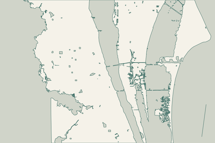
Get to know your waterfront
North Merritt Island's special district runs north of Barge Canal and south of NASA Causeway East. Its elected advisory board handles district planning and zoning requests in place of the county Planning and Zoning Board. It does not replace the marine-permitting offices. Brevard also identifies North Merritt Island as an area of special stormwater concern.
North Merritt Island Dependent Special District · Brevard natural resources ordinances
Begin with drainage and the habitat edge
Ask what proposed fill or wall work would change
A shoreline proposal should show where runoff arrives, where it goes and which neighboring or public features it uses. North Merritt Island's special stormwater designation makes the applicable drainage criteria an early question for county staff. A cap elevation or extra fill is not a complete drainage plan. Brevard natural resources ordinances
Walk the accessible upland with the assessor. Mark low points, swales, culverts, pipes and wall ends on the survey. Describe when water remains in the yard and how the pattern changes after rain. Ask which observations the design addresses and which need separate investigation.
Pine Island shows why habitat belongs in the survey
Pine Island Conservation Area includes mangrove swamps, freshwater wetlands and saltmarsh beside Indian River Lagoon. In July 2026, SJRWMD announced approval of a 3.85-acre inholding acquisition to protect wetland habitat. Closing was expected later; that announcement does not verify it occurred. Pine Island Conservation Area SJRWMD conservation acquisition approval on North Merritt Island
The conservation setting warrants careful boundaries, not an assumption that every nearby lot has identical restrictions. Identify vegetation and wetlands on your own parcel. A conservation map does not establish a private wetland line, construction corridor or submerged-land ownership.
- Keep equipment access within land where permission is established.
- Show temporary disturbance and restoration in the work plan.
- Identify mangroves before discussing clearing or equipment access.
- Ask whether suitable vegetation can remain alongside the repair.
Canal repair and natural-shore stabilization differ
County code treats residential canal bulkheads differently from natural lagoon frontage. New bulkheads on listed natural waters are generally prohibited, with specific provisions for reinforced rock revetment habitat. Give NRM the existing condition and full scope before assuming a new vertical wall is an option. Brevard Code chapter 62, article X, surface water protection Brevard Code chapter 62, article X, surface water protection
A county property review can flag resources, but it is a desktop screening without a site inspection and does not guarantee approval. Use it to identify the next survey or specialist question. Keep property-specific determinations with the plans bidders receive. Brevard environmental permitting review process
Plan for the finished property
The surface-water application asks for drainage arrows, construction details and erosion controls. It requires an as-built survey before final inspection and continued maintenance of the stormwater system. Specify who provides closeout documents and how future owners will know what must remain functional. Brevard Surface Water Permit Application Brevard Surface Water Permit Application Brevard Surface Water Permit Application
Confirm which mapped area applies
The North Merritt Island advisory district and the county’s special stormwater area describe different review contexts. Ask staff to check the parcel against the area relevant to the question. Do not assume one district boundary controls every drainage or shoreline rule.
North Merritt Island Dependent Special District · North Merritt Island Dependent Special District · Brevard natural resources ordinances
What could the work cost?
Price the work after shoreline and drainage questions are clear. Separate surveys, environmental investigation, engineering, permits, access, structural repair, stormwater work and restoration. Ask what changes an allowance. An uncomplicated canal wall is a poor comparison for natural frontage with habitat or access constraints.
Published contractor estimates for early planning. Each price keeps its original area and scope; your written quote confirms the full cost.
Compare quotes and plan a budget →Find the relevant permits and records
| Starting point | What to resolve | Prepare and look up |
|---|---|---|
Brevard Natural Resources Management | Shoreline, surface-water buffer, wetland and stormwater questions. | Call (321) 633-2016 with the tax account, waterway, survey and proposed grading or shoreline work. |
Brevard County Building Permits | Applicable building and residential marine review. | Call (321) 633-2187. Confirm the permit category and drawing requirements for the complete scope. |
Florida DEP Central District | Applicable environmental and mangrove review. | Call (407) 897-4100 before assuming vegetation alteration or submerged-land work is covered by local approval. |
Prepare questions before selecting a wall
Resolve the property's setting and missing information first, then define the assessment scope.
Place the parcel in context
Locate the property relative to Barge Canal, NASA Causeway and the water body. Separate district zoning questions from marine permitting.
Trace runoff and proposed disturbance
Annotate drainage, low ground, vegetation and access. Ask which special stormwater criteria and surface-water requirements apply.
Brevard natural resources ordinances · Brevard Surface Water Permit Application
Compare complete proposals
Identify priced work, unresolved investigations and responsibility for closeout surveys and inspections. Preserve the approved drainage plan for maintenance.
Prepare your North Merritt Island project file
Bring parcel information, shoreline photographs, drainage observations and prior approvals to the first assessment.
Help understanding the problem, comparing options and planning the right repair.
North Merritt Island project questions
Does the North Merritt Island board issue seawall permits?
The county describes this elected board as advisory for district planning and zoning. Marine building and environmental questions belong with the departments listed above. A zoning recommendation does not establish permission for shoreline construction.
North Merritt Island Dependent Special District · Brevard County residential marine construction · Brevard environmental permitting review process
Can a county property review determine whether my project is allowed?
It can identify mapped resources and possible regulations. The county says this preliminary review excludes a site inspection and cannot guarantee permitting. Ask which surveys, field assessments or design changes are needed next.
Does living near Pine Island mean a seawall is prohibited?
The conservation area's habitats do not decide a private parcel's application. Establish your boundaries, shoreline classification and proposed impacts. NRM can then assess natural-shore or canal provisions and alternatives using information about the actual property.
Pine Island Conservation Area · Brevard Code chapter 62, article X, surface water protection
Keep planning
Nearby waterfront guides
Show sourcesHide sources
- North Merritt Island Dependent Special DistrictSource reviewed 2026-10-25
- Brevard natural resources ordinancesSource reviewed 2026-10-25
- Pine Island Conservation AreaSource reviewed 2026-10-25
- SJRWMD conservation acquisition approval on North Merritt IslandSource reviewed 2026-10-25
- Brevard Code chapter 62, article X, surface water protectionSource reviewed 2026-10-25
- Brevard environmental permitting review processSource reviewed 2026-10-26
- Brevard Surface Water Permit ApplicationSource reviewed 2026-10-25
- Brevard County residential marine constructionSource reviewed 2026-10-25
- DEP mangrove frequently asked questionsSource reviewed 2026-10-26
- DEP Central DistrictSource reviewed 2026-10-26